
Hurricane Christina rages across the Pacific towards Mexico

Severe weather over parts of the tropics is taking hold, with Hurricane Christina tearing across the Pacific Ocean, close to Mexico, and Cyclone Nanauk spinning over the northern Arabian Sea.
Meanwhile, the south-west monsoon season is gearing up over India.
Tropical cyclones, such as Nanauk, and hurricanes, such as Christina, are essentially the same thing - both are huge rotating storm systems with spiralling bands of thunderstorms which bring heavy rain and strong winds. Source: PA.
Over the Atlantic Ocean, tropical cyclones are named hurricanes when their maximum sustained wind speeds reach or exceed 74mph. Likewise, strong tropical cyclones are named typhoons over the north-west Pacific Ocean and named very severe cyclonic storms over the Indian Ocean.
Hurricane Christina is the third named storm of the Pacific Ocean so far this summer and has already produced sustained winds of 120mph and gusts to around 150mph, making it a strong category 3 hurricane.
Christina looks likely to move westwards across the eastern Pacific Ocean this weekend, and is likely to remain offshore from the south-western coast of Mexico.
Cyclone Nanauk is expected to move north-westwards over the northern Arabian Sea, bringing strong winds and high seas to an area that has not experienced any tropical cyclones since 2011. Tropical cyclones are quite rare over the Arabian Sea.
The strongest tropical cyclone recorded over the Arabian Sea, named Gonu, occurred in June 2007.
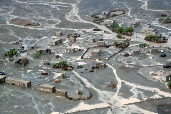
Gonu (pictured above) caused monstrous seas with sustained winds of 145mph and gusts of more than 160mph before causing extensive damage to parts of Oman, including flooding in the streets of Muscat, a city more renowned for its sun- drenched beaches.
Thankfully, Cyclone Nanauk is likely to ease significantly before reaching Oman this time.
Meanwhile, the summer monsoon season is getting underway over India.
The summer monsoon, which typically occurs from June through to September, produces the vast majority of India's annual rainfall. These monsoon rains are caused by moist winds originating from the Bay of Bengal and Arabian Sea.
So far this month, the advance of the Indian summer monsoon has been a little behind its normal position (by around 5-10 days). However, heavy rains look likely near the Arabian coastline over the next week or so, with significant rainfall also arriving over north-eastern parts of India through next week.
The monsoon has a huge significance to India's economy. Agriculture requires good levels of rainfall help to keep the prices of food commodities lower, while flooding and drought from either too much or too little monsoon rainfall is bad news.
The expected rainfall over India next week will probably be a welcome relief, particularly in the north where temperatures reached a blistering 47C (117F) under the baking sunshine on Tuesday. Meanwhile, residents in Oman will probably be hoping that Cyclone Nanauk and its torrential rainfall stay away.

Related articles
Watch: Volcano erupts near Mexico City
Hurricane Amanda strikes Mexico


