
Warning on severe weather event that caused ‘Beast from the East’
A weather event that caused the ‘Beast from the East’ storm in 2018 could be about to hit Europe again, forecasters say.
The UK Met Office said a sudden stratospheric warming (SSW) event was “likely” to take place in the next few weeks.
A SSW event is when rapid warming occurs high up in the atmosphere but can change weather on land.
It makes the jet stream meander more, which can lead to a large area of blocking high pressure over northern Europe, including the UK.
Professor Adam Scaife, head of long-range forecasting at the Met Office, said: “There is now over 80 per cent chance of a major SSW occurring.
“Although the impact will become clearer nearer the time, any effect on UK weather is most likely to occur in late February and March.”
The Met Office added that it was important to that “the occurrence of an SSW does not always equate to a ‘Beast from the East’ type scenario even though this happened in 2018.”
“For example, in 2019, there was an SSW but little impact on the weather for the UK and NW Europe,” the weather service added.
The UK and Ireland were gripped by a severe spell of cold and heavy snow during the last week of February 2018 which lasted for 10 days.
The impact of the ‘Beast from the East’ was made worse by the arrival of Storm Emma.
Temperatures started to drip on 22 February, dropping to as low as -11.C overnight on 27 February.
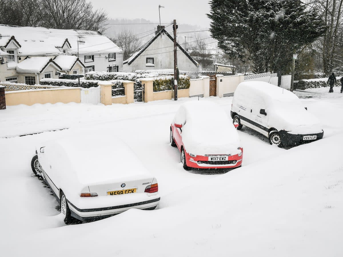
A blanket of snow closed many schools across the country for several days as the cold conditions continued, with a rare red snow alert issued for central Scotland at one point.
The more immediate weather picture for the UK is mixed, with yellow warnings for winds of up to 70mph in place for Thursday.
The Met Office says northern England and Scotland are set to be hit by gales on Friday as the pleasant half-term sunshine takes a turn for the worse.
The yellow alert for Scotland begins at 5am on Friday and runs until 3pm, with the warning for North East England spanning from 6am until 6pm the same day.
Areas covered by the England warning span from Wakefield and Goole across York and Leeds and up to Middlesborough, Durham and Newcastle.
People living or working in these areas are being advised to take precautions as wind speeds could reach up to 70mph.
Forecasters say Friday will be wet and windy with cloudy skies, strong gusts and outbreaks of rain and showers which will be mostly across northern areas.
It will be largely dry but cloudy further south with a chance of some rain later. A windy day with brisk to strong westerly winds which may be strong.
Looking ahead to Saturday outbreaks of rain forecast early will soon clear during the morning to reveal periods of sunshine although variable amounts of cloud will build.
Sunday will be generally dry with periods of sunshine however large areas of cloud will build bringing a chance of some patchy light rain and drizzle.

