
UK weather: Will it rain or snow near me this weekend?
Any Brits who thought winter had turned a corner have been sorely disappointed after the highs of 16C at the start of the week disppeared with the return of a cold snap on Wednesday.
The south of the country will see a peak of 8C today – with freezing temperatures possible in March, according to the Met Office.
Forecasters had thought that a Sudden Stratospheric Warming event could bring snow and blizzards to the country this weekend.
However, the weather for this weekend is much more settled than first feared, with snow not expected and only minimal rainfall, the Met Office said.
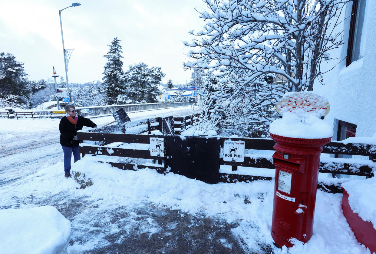
It comes after parts of the UK were battered by winds of up to 75mph by Storm Otto.
Temperatures across most of the country will largely hit a peak of 7C, while rain on Friday is set to die out as it spreads south.
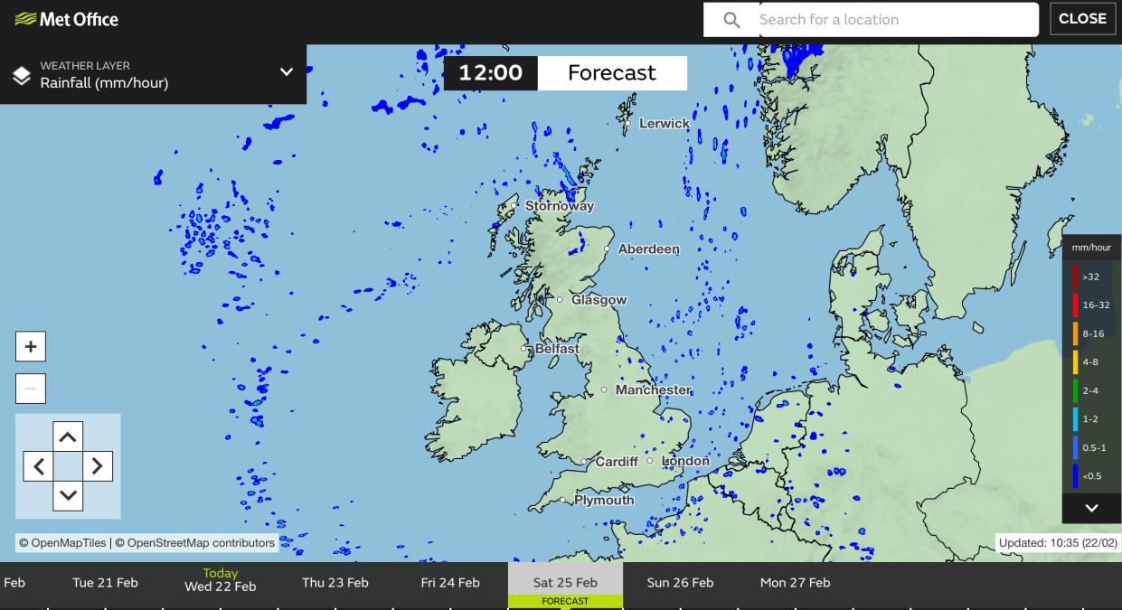
Isolated showers may be experienced nearer to the coast, the forecaster added.
Despite the colder temperatures, the UK will stay largely dry, the Met Office said – with patchy cloud and sunny, clear intervals expected.
While the expected snow and blizzards will not materialise this weekend, the Met Office still thinks the UK will experience them next month instead.
Rain will clear eastwards on Wednesday, with sunshine and showers following 🌦️
Here's the #4cast: pic.twitter.com/tllOibwaur— Met Office (@metoffice) February 21, 2023
Spells of rain or snow in the week beginning 6 March “are more likely than earlier in the month”, according to the forecaster, with some chance that the wintry showers will be “disruptive”.
The cold conditions would be a result of the Sudden Stratospheric Warming phenomenon.
What is a Sudden Stratospheric Warming (SSW)?
A Sudden Stratospheric Warming is when there is a rapid warming, of up to 50C in a matter of two days, high above the Earth’s surface.
The warming is not felt as it is so high up but the knock-on effects on the jet stream and our weather are felt several weeks later.
What are the effects?
The SSW can cause the jet stream to “snake”, creating a large area of blocking high pressure.
This usually forms over the North Atlantic and Scandinavia, meaning northern Europe – including the UK – experiences a long period of dry, cold weather, and southern Europe sees milder and wetter weather.
The ‘Beast from the East’ experienced in the UK in 2018 is thought to be the result of the effects of an SSW.
Is there an SSW taking place now?
A major SSW took place some 50km above the North Pole earlier this month.
When will we feel the effects?
As the SSW took place in early February, we can expect to feel the effects in the middle of March.
The Met Office has said that wintry conditions are expected in two weeks' time – the middle of next month – with much colder weather expected.

