
More heavy snow showers look set to hit parts of UK
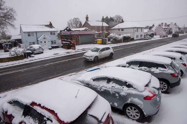
More heavy snow showers are set to hit the east and south east of England as many places struggle to reach temperatures that are much above freezing, forecasters say.
The wintry feel is set to last into the new week as the winds which made it feel like there were sub-zero temperatures across the country on Sunday press into Monday.
It has been “bitterly cold” due to strong easterly winds from Ukraine and the Black Sea, the Met Office said.
The east plus London and the south-east of England are covered by amber warnings of snow through to Monday lunchtime, which predict possible widespread travel disruption and possible power cuts.
It's going to be another 📉 cold day on Monday with some places struggling to get much above freezing.
Find out if you will see any ❄️ #snow in the latest #4cast 👇 pic.twitter.com/S0rdVEGHbr
— Met Office (@metoffice) February 7, 2021
Various warnings for snow and ice across eastern areas the length of Britain are also in place until Wednesday.
The Met Office said: “Monday will start cold for all.
“Snow will continue to fall in southeast England, with further snow showers elsewhere.”
Storm Darcy is the low pressure system that is bringing heavy snow and strong winds to East Anglia and south-east England, the forecaster said.
Essex, Norfolk, Suffolk, Kent and Medway are all regions which are set to be hit by an “area of widespread, persistent and occasionally heavy snow” through to Monday, according to the amber warning.
There is also the potential for some significant accumulations across eastern parts of Norfolk, Suffolk, Essex and Kent.

The warning adds: “Accumulations of snow will be widely 5-10cm with 15-20cm in places and a small chance of 25-30cm for a few sites.
“Very strong easterly winds with gusts of 40-45mph inland and 50-55mph along north-east facing coasts will also lead to drifting of lying snow.
“During Monday morning the snow will turn more intermittent before gradually easing.”
The cold snap driven by the easterly winds is not expected to be as widespread as the Beast From The East in 2018.
Glasgow City Council workers were out on the roads on Sunday evening after a day of snow flurries and temperatures were forecast to drop overnight.
The council had sent its gritters out at the weekend to outlying priority routes and areas around vaccine centres.
Southeastern Rail strongly advised passengers not to attempt to travel on its network on Sunday or Monday.
It said the Maidstone East line will be closed on Monday and added: “Given the severity of the forecast some routes are closed with no replacement transport available.”
Southern Railway said it had cancelled trains on two of its routes.
Recent rainy weather on unstable rocks have triggered a series of cliff falls this weekend prompting the coastguard to warn people to stay away from some seaside areas.
Cliff falls were also reported at Aycliffe, Kent, in Scatby, Norfolk, and there was a rock slip at Sheps Hollow near Swanage, Dorset.
A large gap also had to be cordoned off on the coastal path between Seaford Head and Hope Gap in Kent this weekend, the coastguard said.
Public Health England (PHE) has issued a cold weather alert for the whole of England through to Wednesday and urged people to check on frail or older neighbours or relatives, especially those living alone or who have serious illnesses.

