
Met Office dismisses 'Saharan plume' reports and forecasts 'thundery downpours' this week
The Met Office has dismissed reports that a "Saharan plume" of warm weather is going to land in the UK next week.
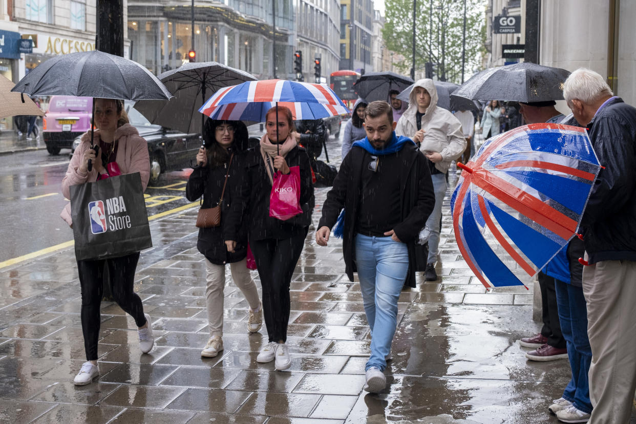
The forecaster said the wet conditions are expected to continue this week, with "thundery downpours" on their way on Thursday.
A report by independent weather group WX Charts suggests a "Saharan plume" - a band of hot air from the Sahara Desert in Africa - will blow in some higher temperatures next week, up to 23C next Thursday 23 May.
But the Met Office disputed this, with a spokesperson telling Yahoo News UK: "I’m afraid our forecasts are not signalling anything about a ‘Saharan plume’ from next Thursday.
"The next few days and into the weekend will see a mixture of sunshine and showers, which could be heavy at times. Temperatures will be generally a little above average and feeling warm in sunnier areas."
In its long range forecast for Saturday 18 May to Monday 27 May, the Met Office would only indicate that temperatures would be "around or just a little above average".
It said: "Confidence lowers into the following week with signals mixed. On balance a continuation of the showers in the south seems most likely, with the north continuing to see the best of any drier weather. Temperatures probably remaining a little above average."
Periods of rain this afternoon across East Anglia, northern England and southern and western Scotland. Feeling cooler than yesterday in these areas📉
Showers are possible elsewhere but with bright spells too🌦️
Feeling warm in the sunshine, especially in northern Scotland📈 pic.twitter.com/cv7nMmZhm8— Met Office (@metoffice) May 14, 2024
It said the beginning of the period from this Saturday would be "changeable with showers developing by day across the UK through the end of the week and over the weekend".
The Met Office also warned that the south of England could experience "the heaviest showers and greatest risk of thunderstorms".
The country experienced the hottest day of the year so far on Sunday, when temperatures reached a high of 27.5C in Chertsey, Surrey.
England, Northern Ireland, Scotland and Wales all saw their highest temperature of 2024 on Saturday, but the weekend ended in a washout, with thunderstorms bringing heavy rain that has endured into this week.
The Met Office had yellow weather warnings for rain in place in the south west of England, south Wales and the south east of Northern Ireland on Monday, and now it has warned of more wet weather to come.
In its forecast for Thursday to Saturday, it said: "Warm sunshine but with scattered showers. A risk of heavy, thundery downpours. Northern areas perhaps becoming mostly fine by Saturday."
On Tuesday, the Met Office said: "A band of rain will affect southern and western parts of Scotland, along with northern, some central and many eastern parts of England. Elsewhere there will be some warm sunshine, though with scattered showers, locally heavy."
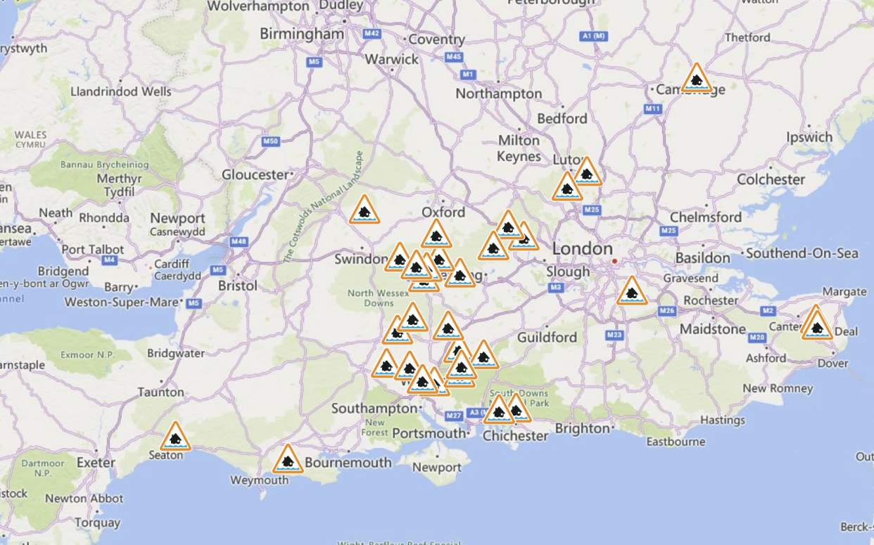
According to the Environment Agency, as of 2.30pm on Tuesday, there were 32 flood alerts in England, meaning flooding is possible.
The Met Office said the "patchy rain" is expected to continue into Wednesday across Scotland, large parts of north, east and central England, and could be heavy in local areas.
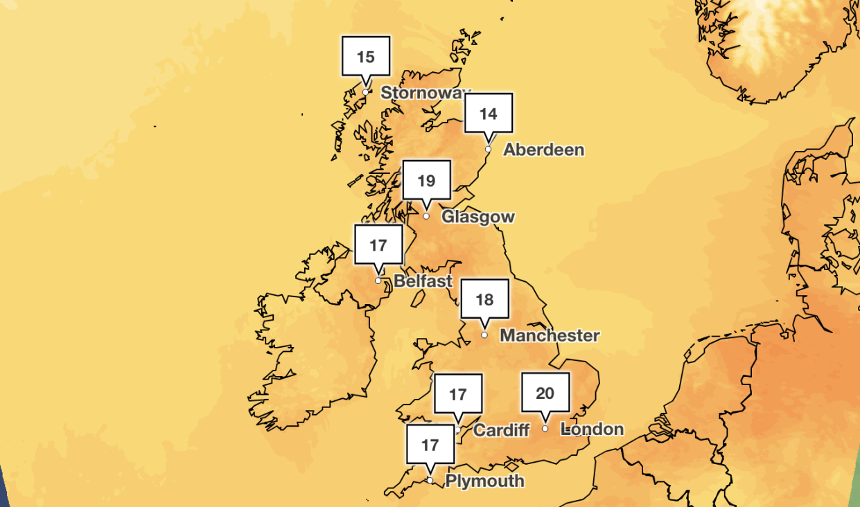
Although the week could be rainy for many parts of the UK, temperatures will remain in the late teens, creeping up to 20C in London later this week.
What is a 'Saharan plume'?
In this instance, the Saharan plume refers to a band of hot air travelling north from the Sahara Desert in Africa.
This differs from Saharan dust, which the Met Office says is a mixture of sand and dust from the Sahara that can make its way to the UK.
The dust can be lifted from the ground by strong winds and be carried thousands of miles, the forecaster said.
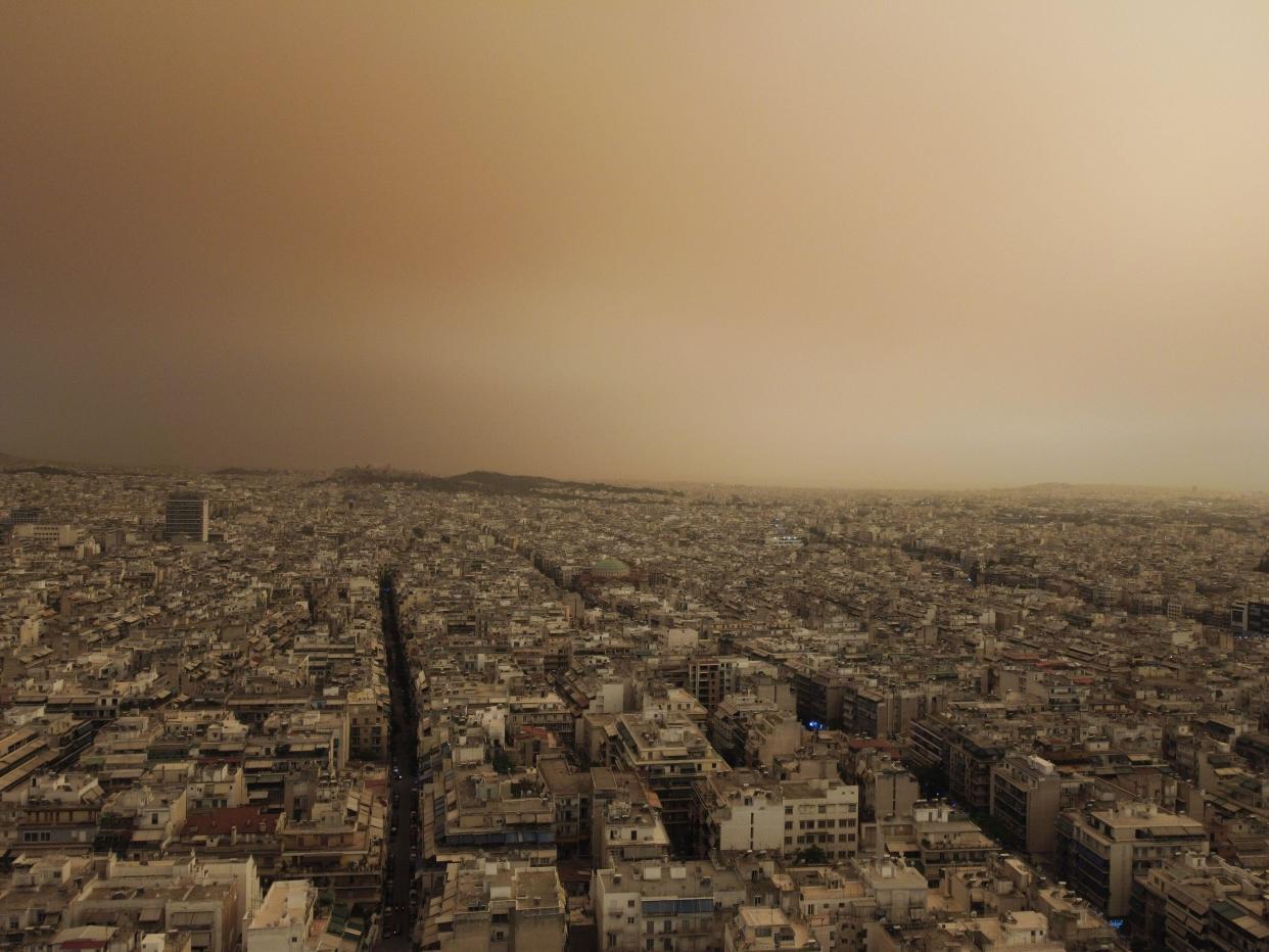
Rain may then wash the dust out of the sky and when those raindrops land on the ground and then evaporate, they leave a layer of dust behind.
The Met Office says a "Spanish plume" is caused by very warm air pushing north from the Iberian Peninsula and leads to an increased risk of thunderstorms, which can form over the UK.
There were a series of Spanish plume events in the UK in July 2014, when warm humid air moved north from Spain and France and were overrun by cooler air at higher levels in the atmosphere, leading to thunderstorms.
How to stay safe during thunder and lightning
Before the thunderstorm
To avoid power surges during lightning, unplug non-essential appliances.
Seek shelter when thunder is heard as lightning can strike up to 10 miles away from the storm centre.
During the thunderstorm
During lightning, avoid using landlines unless it's an emergency, stay away from water, trees, poles, and metal objects such as golf clubs, fishing rods, umbrellas and wire fencing.
Squat close to the ground with hands on knees and head tucked between them, and avoid lying on the ground.
If you feel your hair standing on end, drop to the above position immediately.
After the thunderstorm
Avoid downed power lines or broken cables.
If someone is struck by lightning, they often suffer severe burns. The strike also affects the heart, so check if they have a pulse.
Driving in a thunderstorm
If you are caught out in thunder and lightning it is advised that you wind up the windows and stay inside your car.
In the vast majority of cars with a metal roof and frame, the frame will act as a conductive Faraday cage, passing the current around the passengers inside and on to the ground.
Read more

