
The El Niño has ended. Will Australia get a La Niña next – and what weather could that bring?
The Bureau of Meteorology has declared the end of the 2023-24 El Niño event.
Since 1910, there have been 29 El Niños, a phase that sees easterly equatorial winds in the Pacific slow or even reverse. These increase the odds in eastern Australia for a dry winter into spring.
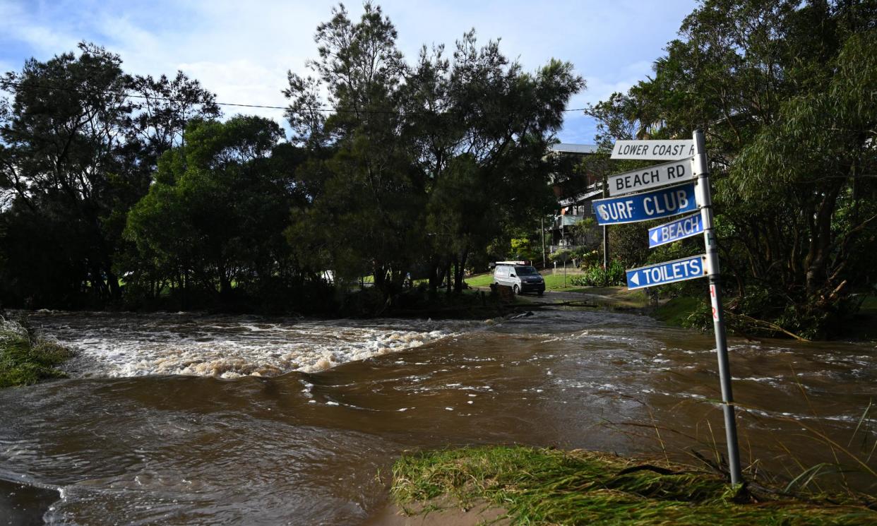
The opposite pattern, the La Niña, has stronger easterly winds than usual, boosting chances in northern and eastern Australia of wetter than normal weather. Over the past 114 years, there have been 20 La Niña, according to the bureau.
Related: BoM declares the El Niño is over and another La Niña could be on the way
Karl Braganza, BoM’s head of climate services, outlines key features of the recent El Niño, what’s coming and how climate change makes history a less useful guide.
How strong was the El Niño?
Sea-surface temperatures in the so-called El Niño-Southern Oscillation (ENSO) 3.4 region of the Pacific, the cradle of these events, peaked last November with an anomaly of about 2.1C. By contrast, the 1997-98 El Niño, considered perhaps the strongest on record, clocked temperatures about 2.5C warmer than usual.
The atmospheric component of the recent El Niño was relatively weak compared with the 1997-98 event or even the previous El Niño in 2015-16, Braganza says.
The August-October 2023 period was Australia’s driest for any three-month period in records back to 1900. September’s rainfall was 70.2% below the 1961-90 yardstick with just 4.8mm falling on average. Only April 1902 was drier.
Was El Niño the key climate driver?
By September, when the bureau declared the El Niño under way, longer-term forecasts were already indicating that summer in eastern Australia might not be unusually parched.
That’s because Australia’s climate is influenced not just by Pacific weather patterns. The Indian Ocean and the Southern Ocean can hold sway.
As spring ended, the southern influence became more important as a very strongly positive phase of the Southern Annular mode (SAM) – marked by westerly winds contracting towards Antarctica – took hold.
“As we got closer to November and December, we started to see a strengthened SAM and the models started to increase the likelihood of median or above-median rainfall for parts of the east,” Braganza said. “You do have those El Niños where you get reasonable summer rainfall over Australia” and this event turned out to be one of them.
Will we get a La Niña next?
International climate models, including the bureau’s, predict the neutral conditions in the Pacific will last into winter. After that, they currently predict – with varying certainty – a La Niña later this year.
US’s National Oceanic and Atmospheric Administration rates a La Niña as a 60% chance by June-August.
Braganza, though, stresses models at this time of year have relatively low skill. “This far out, we’re really looking at what the Pacific Ocean temperatures are likely to do in the models,” he said. The atmosphere still needs to “couple” with oceanic conditions in the real world, “and that’s not a given”.
A sequence of three La Niñas years in a row – as occurred between 2020- 21 and 2022-2023 – followed by an El Niño and then another La Niña would be something new, at least according to a century of records, he said.
What impact might another La Niña bring?
As the past summer has shown, having another La Niña won’t necessarily mean eastern and northern Australia face elevated risks of floods and a relatively mild bushfire season.
“We would really like people to not infer what Australian rainfall is going to be based on one climate driver,” Braganza said.
Indian Ocean conditions, for instance, often play the dominant role during winter into spring.
Some of the driest and extreme bushfire summers – for instance the 2019-20 Black Summer, – were primed by the positive phase of the Indian Ocean Dipole (IOD). Temperatures in the western Indian Ocean are then relatively warm compared with the basin’s east, reducing convection off north-western Australia and the moisture available to soak the country’s south-east.
Models also have low skill at this time of year for picking how the IOD will evolve. For now, all five international models the bureau uses have the dry IOD phase forming by May.
“It would be unusual to have a positive IOD and a La Niña,” Braganza said, noting reliable data only exists from about 1960 on. How such a combination might play out is hard to say with much certainty at this point.
What role does climate change play?
Another big reason to be cautious about predictions is how global heating might be affecting weather patterns – a live area of scientific inquiry.
“We’ve got the climate change trends that are occurring in the background,” Braganza said. “We haven’t observed ocean temperatures like this before so we just need to be a bit circumspect in having history as a guide.”
“All of these factors are the reasons why using a climate model that pulls in millions of observations in real time is really the best guidance we have.”

