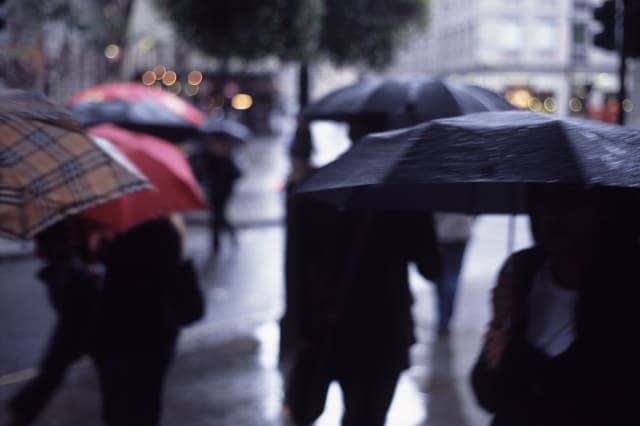
Flooding, colder temperatures and dusting of snow expected as clocks go back

There is the potential for widespread flooding, colder temperatures and even snow on hilly ground as wintry weather returns to the UK ahead of the clocks going back on Sunday.
There are four Met Office weather warnings currently in place for rain, covering parts of Wales as well as northern and south-western parts of England.
A burst of "polar maritime air" is also expected to bring colder temperatures to northern parts of the nation on Saturday, before hitting the rest of the country on Sunday and into next week.
This is expected to bring colder weather, with the first widespread frost of the season anticipated over the weekend, as well as a dusting of snow on higher ground.
A yellow severe weather warning for #rain has been updated: https://t.co/QwDLMfRBfs. Stay #weatheraware@metofficeUKpic.twitter.com/k9zXhH1Ac8
— Met Office (@metoffice) October 25, 2019
Met Office spokeswoman Nicola Maxey told the PA news agency how a "low-pressure system" over the Azores is expected to come across to the UK, bringing widespread rain with it.
She said: "The areas most at risk are the areas that are within the warning areas, so you've got parts of Cumbria and the Pennines. There's a warning over Wales and then there's another warning over parts of the South West.
"We're looking at 30mm to 50mm of rain quite widely, with perhaps 120mm over higher ground for the warning in south Wales."
Yellow warnings for rain covering northern and south-western parts of the UK from 3pm on Friday to 3pm on Saturday warn of the potential for flooding and travel disruption.

There is also a more severe amber warning for southern Wales from 6pm on Friday to 11am on Saturday, with the Met Office warning: "Homes and businesses are likely to be flooded, causing damage to some buildings."
Ms Maxey also told PA that chillier weather can be expected this weekend, with the first widespread frost of the year anticipated.
She said: "We've also got some polar maritime air moving in across the country, so where this warmer air that's coming up from the south meets the colder air, you see the heaviest rain at that point.
"Because of the colder air, there's a possibility that some of the rain may fall as snow, but only over very high ground in the north.
"You might see a dusting on top of the Pennines, and you may see a centimetre or two over the mountains in Scotland."
The Met Office spokeswoman added that the northern half of the country should expect temperatures in the high single-figures over the weekend, with southern parts anticipated to experience slightly warmer conditions in the low double-figures.
But these lower temperatures are said to be normal for late October.
Ms Maxey said: "It will be the first sort of cold weather for the country, we'll see some widespread frosts and the first widespread cold weather of the season.
"It's been relatively mild, so this will be the first cold weather of the season."


