
How extremely rare 'Sudden Stratospheric Warming' event could impact the UK's weather
March is usually the month in which cold weather begins to ease.
But a one-in-a-250 year weather event is underway in the UK, the Met Office has said - and this could bring cold temperatures with it.
For the first time since the weather agency’s records began in the mid-20th century, this “extended winter period” - between November last year and March this year - is the first to see three Sudden Stratospheric Warming events.
Prof Adam Scaife, head of long-range forecasting at the Met Office, said: “Our research work, using multiple computer simulations, showed that this could occur about once in every 250 winters.”
Here, Yahoo News UK explains what a SSW event is and how it could impact the UK’s weather.
What is a Sudden Stratospheric Warming event?
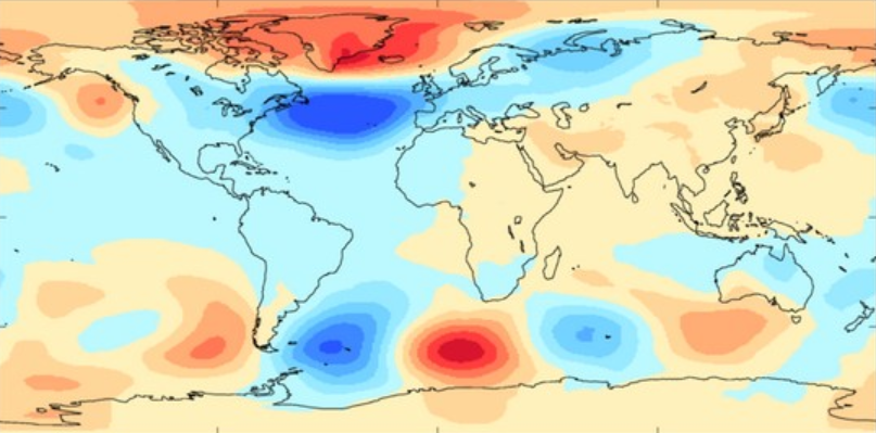
A Sudden Stratospheric Warming event refers to a rapid warming - of up to 50C in a couple of days - between 10km and 50km above the earth’s surface.
The Met Office says: “This is so high up that we don’t feel the ‘warming’ ourselves. However, usually a few weeks later, we can start to see knock-on effects on the jet stream, which in turn affects our weather lower down (in the troposphere).”
On the apparent paradox of a high temperature burst causing colder weather, the Met Office explains: “This tends to create a large area of blocking high pressure. Typically this will form over the North Atlantic and Scandinavia. This means that northern Europe, including the UK, is likely to get a long spell of dry, cold weather.”

Particularly after the 2018 “Beast from the East”, which happened when a sudden stratospheric warming event sent freezing winds from Siberia, these are usually associated with extremely cold weather and snow.
However, they don't always equate to cold weather. Typically, only seven in 10 cause a cold snap, the Met Office said.
The agency also pointed out the two previous SSW events in the current extended winter period resulted in only “intermittent drops in temperature”.
Indeed, its current long range forecast, covering 13 to 22 March, was not warning of a cold snap as of Friday afternoon. The forecast read: "Temperatures will be near or slightly above normal, although there is risk of some colder interludes, with overnight frost, across northern and eastern areas."
What is the polar vortex?
SSW events are linked to the polar vortex. The polar vortex, as per the Royal Meteorological Society, is a "circulation of strong westerly winds in the stratosphere that forms every winter".
"During the winter," it says, "the polar vortex can strengthen and weaken, and these changes can have an influence on our weather in the troposphere."
Sometimes, the polar vortex can break down entirely into a SSW event.

