
UK braced for snow, sleet and hail
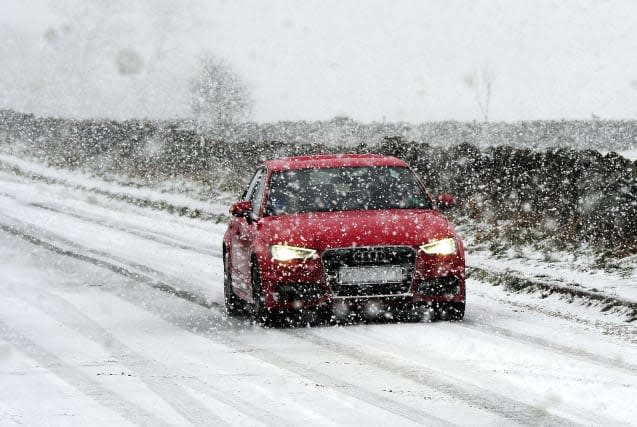
Forecasters have predicted "any kind of weather you want apart from heat" and issued warnings across large parts of the UK.
A yellow warning for snow and ice has been in place across much of Scotland and Northern Ireland since Monday, however the Met Office has issued one for northern England and Wales throughout Tuesday.
Hail, lightning and blizzard conditions are also possible in certain areas, forecasters have warned.
It will be wintry start to the day across many northern and some western areas tomorrow, with #snow and #ice to contend with. The south and east will have longer clearer spells, although this will encourage a patchy frost to form here too. pic.twitter.com/bfbRouXx8i
-- Met Office (@metoffice) January 15, 2018
Travel delays are possible and there is a chance of power cuts throughout the day.
A Met Office spokesman told the Press Association: "You could sum up the whole week by saying it will be cold with strong winds and periods of sunshine.
"Any kind of weather you want we have got it - apart from heat.
"There's going to be an awful lot of sun showers, which we weren't seeing last week. This week there will be a lot more changing.
"There will be low temperatures by day, peaking around five or six degrees.
"But with the strength of the winds it will feel closer to one or two degrees."
Possible snow and ice overnight so please be careful when driving in the morning - slow down and drive to the road conditions #WinterDriving#Cumbriapic.twitter.com/CY1TPQzk8m
-- Cumbria Police (@Cumbriapolice) January 15, 2018
Snow showers will be heaviest and most frequent across western Scotland, where high ground is likely to see 10 to 20cm building up.
There may also be more than 15cm over the hills of Northern Ireland, especially in the north.
At low levels throughout the warning area, two to eight centimetres will be more typical.
Showers will be accompanied by hail and lightning at times, particularly across western Scotland, with potential for disruption to power supplies from lightning strikes.
Strong winds bring the potential for temporary blizzard conditions and drifting of lying snow, mainly over high ground.
That's it from me folks ?
D will be with you at 6am tomorrow. Yellow warning for snow and ice is in place so please #DriveSafe ? Keep up to date on current incidents here ? Phttps://t.co/WA6ew8D7h7pic.twitter.com/5b3jKCpUb2
-- Traffic Scotland (@trafficscotland) January 15, 2018
This warning is to remain in place until Wednesday at 6pm.
Meanwhile, northern England and Wales could see two to six centimetres accumulate in places, especially above 100 metres.
On lower levels, there is likely to be a slushy cover of one or two centimetres.
The warning is in force between 4am on Tuesday and 11am on Wednesday.
Wednesday will also see yellow alerts for snow and wind later in the day.

