
Storms to hit Britain before another big chill in February
Forecasters are warning that storms will replace the chilly weather the UK has been experiencing - but that a "prolonged" freeze will then return in the second half of February.
Sub-zero temperatures are set to be replaced with a warmer but more unsettled feel for the first half of February.
See also: 'Alien shrimp' emerges in Australia after heavy rain
See also: Mysterious ice circles appear in Washington river
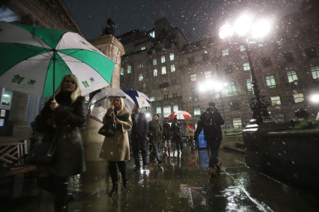
Storms are likely to cause travel chaos, and could also cause flooding and dangerous gales, warn forecasters.
Speaking to the Daily Star, Eric Leister, forecaster for Accuweather, said: "A shift in the overall weather pattern will bring the return of potent Atlantic storms to the United Kingdom from late January into February."
He said the "barrage" of storms would continue into mid-February, and added: "The strongest storms are expected to bring impacts ranging from damaging winds and flooding to travel disruption."
The impact of the storms may vary in different areas of the country, he said.
The Met Office forecast for the end of the week reads: "Unsettled weather will continue, with outbreaks of rain for many. Milder conditions will spread to all parts, with a risk of gales in the west later in the week."
The forecast up to mid february (3 Feb to 12 Feb) suggests more unsettled weather and reads: "The weather will remain mild but often wet and windy into the middle of February. Friday in particular is likely to be very windy, with gales near coasts and on hills.

"Spells of rain are expected to cross the country on Friday and subsequent days, particularly in northern and western areas. More windy weather is likely over the following days with gales in prone places.
"These spells of wind and rain will be interspersed with brighter, showery and occasionally colder conditions. Any snow in this period will be restricted mainly to higher ground, although during colder interludes there could be brief wintry showers to lower levels in the north.
"Temperatures will probably be milder than average for most of the UK, though occasional night frosts will affect the north.
But it seems the recent chill will return after the storms for the second part of February, when a "prolonged" freeze will set in, reports the Telegraph.
Indeed, the Met Office forecast for Monday 13 Feb to Monday 27 Feb reads: "At the start of this period the most likely scenario is for more unsettled weather, with wet and windy spells interspersed with brighter, colder and showery interludes.
"There is a risk of gales at times, particularly in the west, where the heaviest rainfall is also most likely.
"Temperatures are expected to be above normal for the time of year for most, although with colder interludes more frequent across Scotland and Northern Ireland.
"Later in February there are signs of a more prolonged colder spell developing."
Time to skip February and head off to warmer climes?

Related video:

