
Wet weather for 40 days? Rain forecast for St Swithin's Day
It is set to rain on St Swithin's Day and if you believe the British folklore, which means the wet weather will continue for a further 40 days.
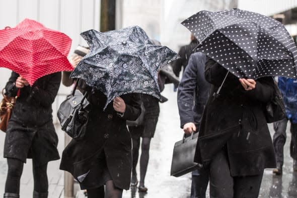
The saint's feast day falls on July 15 - tomorrow - when rain is forecast in the South East of England, Northern Ireland and western parts of Wales. Words:PA
According to tradition, if it rains on St Swithin's Day it will continue for another 40 days, but if it is fair it will also remain so for that period.
Met Office forecaster Mark Seltzer said: "There will be some localised rain in a few locations on Tuesday. There's likely to be some drizzle in the South East and later on into Wednesday there will be
some rain in Northern Ireland and western Wales.
"On Wednesday it will be mostly dry but in England and Wales there could be some isolated heavy showers in the afternoon."
Although temperatures will be warm, he added that by next weekend there is the risk of thunder storms.
While there is set to be some rain, most parts of the UK will remain dry over the next few days, Meteogroup forecaster Sean Penston said.
"Many places will stay dry over the course of the day with the chance of the odd light shower developing later in the South East," he said.
Temperatures in London today will reach highs of 25C (77F), he added, with the warm weather continuing for the rest of the week and contributing to the development of some thunderstorms at the weekend.
"At this stage it is difficult to give the precise locations of these storms but there are likely to be heavy showers and thunderstorms on Friday into Saturday, with more heavy showers expected on Sunday."
While it is unlikely that any one location will see rain fall every day for the next 40, as per the superstition, there is some element of truth to weather patterns continuing.
By this point in the summer, the jet stream is usually set in a pattern which tends to last until the end of August.
The jet stream is a fast-flowing current of air located around 4-7 miles up in the atmosphere. It tends to steer the areas of high and low pressure around the globe and marks a boundary between cold air to the north and warmer air to the south.
If it is sitting to the north of the UK, then warm air tends to invade from the south, usually associated with high pressure building in from the Azores, leading to fine and settled weather for the British Isles.
However, should the jet stream sit across the UK or to the south, then cooler air from the north is dragged down and low pressure systems move across the country from the Atlantic, leading to
unsettled weather.
So far, the jet stream is pointing directly towards the British Isles, indicating unsettled weather.

Related stories
Heatwave! Temps could soar to 30C next week
Snow in summer? Dorset residents wake up to wintry scene


