
UK weather: Cold snap to bite Britain from today
Temperatures will drop in Britain from today, bringing below normal weather conditions to the UK until early December.
Forecasters have warned of snow showers for higher ground and ice being the biggest danger.
Leon Brown, chief forecaster of The Weather Channel, tells AOL Travel: "There will not be so much snow at lower levels.
"The north can expect snow, especially northern and central Scotland with snow showers at first over the western side of Scotland above 150m, and then later on Wednesday some snow for the east, but mainly for higher ground above 200m or so."
For Northern Ireland and North Wales, Leon predicts "some snow showers on Tuesday with 2 or 3cm possible, again mainly above 200-300m so over higher ground."
Rain and hill snow is expected to move southwards on Wednesday, with snow again mainly over higher ground above 200m over the Pennines, York Moors and Cambrian Mountains in Wales and sleet at lower levels.
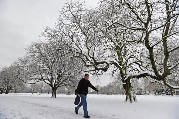
Story continues below slideshow...

Mr Brown adds: "As winds veer to the northeast through Wednesday to Thursday we may see moderate snowfalls inland over the Grampians to Cairngorms in Scotland with perhaps 20cm.
"The end of the week though, away from eastern coasts, will be cold and frosty with icy conditions. We're expecting wintry showers along the east coast through the weekend and next week while central and western Britain will be dry, but cold with night frosts.
"The below normal temperatures are likely to be with us until early December."
Meanwhile, Met Office spokesman Dan Williams tells AOL Travel: "Conditions are still expected to become colder from the north from late Monday onwards."
Snow showers are expected over northern and western areas of Scotland and northern England and "perhaps over hills further south."
Mr Williams adds: "Higher parts of Scotland could see 2-5cm or up to 10cm locally, but any lying snow at lower levels elsewhere across the UK will be very short lived."
The Met Office warns that ice is likely to be the main hazard through the period but that "this cold snap is fairly typical for the time of year."
For next week, Britain is expected to see plenty of dry weather and temperatures below normal at times.

Check out our pick of the best places for a holiday this winter...

Related articles

