
Will it be a white Christmas 2016?
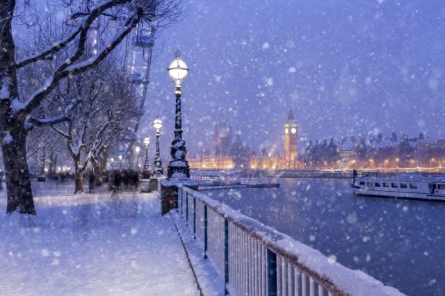
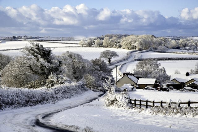
Many of us dream of waking up to a white Christmas - opening the curtains to find a blanket of white stuff sprinkled across the rooftops as far as the eye can see.
But in the UK, this picturesque Bing Crosby scene is actually quite rare
See also: Where to go for a White Christmas 2016
See also: Odeon to open cinemas on Christmas Day
So how likely are we to see any snow this year?
According to the Met Office, for most parts of the United Kingdom, Christmas is only at the beginning of the period when it's most likely to snow.
It says we are more likely to see snow between January and March than in December.
Snow or sleet falls on an average of 3.9 days in December, compared with 5.3 days in January, 5.6 days in February and 4.2 days in March.
Bookies slash odds on a White Christmas
However, with predictions of temperatures dropping this week, the bookies are slashing the odds on a white Christmas for 2016.
Ladbrokes are now offering odds of 6/1 on snow falling in Cardiff on Christmas Day, with odds for at 2/1 for a White Christmas in Aberdeen, Edinburgh and Glasgow. There are better odds further south with 3/1 for Newcastle and Belfast, 4/1 for London, and 5/1 for Liverpool and Manchester.
At the time of writing, William Hill are offering odds of 3/1 in Aberdeen, 5/1 in Belfast, London, Leeds, Manchester, Liverpool and Newcastle, and 7/1 in Birmingham, Dublin, Bristol, Norwich and Cardiff.
The Met Office says that White Christmases were more frequent in the 18th and 19th centuries, even more so before the change of calendar in 1752 which effectively brought Christmas day back by 12 days.
Climate change has also brought higher average temperatures over land and sea and this generally reduced the chances of a White Christmas.
What is a white Christmas?
The definition that the Met Office uses to define a white Christmas is "for one snowflake to be observed falling in the 24 hours of 25 December somewhere in the UK".
So it doesn't necessarily have to look like the typical picturesque snow-filled scene to be classed as a white Christmas.
Traditionally, the Met Office used to use a single location in the country to define a White Christmas which was the Met Office building in London.
However, with the increase in betting on where will see a White Christmas the number of locations have increased and can now include sites such as Buckingham Palace, Belfast (Aldergrove Airport), Aberdeen (Pittodrie - Aberdeen FC), Edinburgh (Castle), Coronation Street in Manchester and the Millennium Stadium in Cardiff.
When will we know if it will be a White Christmas?
The Met Office can accurately forecast if snow is likely on any given Christmas Day up to five days beforehand.
Statistically, a snowflake has fallen somewhere in the UK on Christmas Day 38 times in the last 54 years, so we can probably expect more than half of all Christmas Days to be a 'White Christmas'.
However, the more Dickensian 'Christmas Carol' scenes of a widespread snow lying on the ground on Christmas Day is much rarer. There has only been a widespread covering of snow on the ground (where more than 40% of stations in the UK reported snow on the ground at 9am) four times in the last 51 years.
The last widespread white Christmas in the UK was in 2010. It was described by the Met Office as extremely unusual, as not only was there snow on the ground at 83% of stations - the highest amount ever recorded - but snow or sleet also fell at 19% of stations.
We also had a White Christmas in 2009 when 13% of stations recorded snow or sleet falling, and 57% reported snow lying on the ground.

What is the current weather forecast for Christmas Day?
The UK outlook for 12 December to 26 December currently reads: "Unsettled weather may continue at first, especially in the north-west, before more generally settled conditions return as high pressure builds in more widely across the UK, as we approach the middle of December.
"This will bring drier than average conditions for many areas with lighter winds and an increased risk of frost and fog, especially where skies remain clear overnight.
"Some unsettled spells are possible but these are likely to be fairly limited. As a result of the drier weather it is also likely to be colder than normal."
No mention of snow just yet but that doesn't mean it won't happen. Fingers crossed!


