
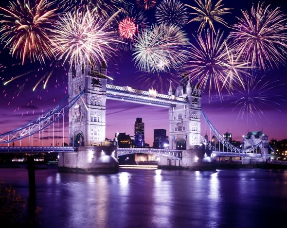
Bonfire Night to be coldest night of the year so far
It will be a good idea to wrap up warm this Bonfire Night - as weather forecasters predict the coldest evening of the year.
The news comes just days after the UK enjoyed the warmest Halloween on record, with a temperature of 23.6C (74.3F) being recorded in Gravesend, Kent and Kew Gardens, Greater London, beating the previous record of 20.0C.
Temperatures could reach as low as -8C, making some parts of the UK colder than many parts of the Arctic.
According to the Daily Telegraph and the Mirror, the mercury could even sink as low as -8C. The Telegraph says that "in exposed, clear ground in the Scottish Highlands, temperatures could sink as low as -8C, the coldest minimum temperature of the year so far, according to the Met Office".
Leon Brown, meteorologist at The Weather Channel, told Aol Travel: "We are due a widespread frost for Bonfire Night, with clearing skies and light winds – for those planning a bonfire expect temperatures to plummet during the evening!
"It will be not far from 0C by 10pm in the Midlands and Wales, and below zero by mid-evening over northern England and central Scotland.
"The coldest places will likely be the eastern Highlands with -5C to -6C likely, but temperatures could dip to -4C or -5C in frost hollows in east Wales to central and southern England too, making it the coldest night so far this autumn."
Leon says that gales will then hit from Thursday, adding: "Thursday evening is not a good time for bonfires or fireworks – it will be windy, with rain spreading from the west.
"Wales, western England and Scotland are due a very wet and windy evening.
"There will be gales too in the Irish Sea and western Channel, with gusts of 60mph. Much of the UK will catch 15mm to 25mm of rainfall overnight to Friday morning.
"On Friday it will be back to sunshine and showers, and still a gusty south westerly wind. Heavy showers with thunder are due for western and some southern coasts, but few showers will blow inland to the Midlands and eastern England.
"It now looks like another area of heavier rain will spread from the west on Saturday with strong southerly winds, although northern Scotland may stay clearer, so Saturday evening is not a good time for a bonfire.
"It will be back to sunshine and scattered showers on Sunday, with mainly fine and clear weather for eastern England. Heavy showers are due for South Wales and near some Channel coasts. There will be a flash flood risk in South Wales.
"Temperatures will be around the seasonal norm this weekend. The south east will be warmest reaching 13C to 14C on Saturday and 12C to 13C on Sunday, but it will be more like 7C to 10C for northern Britain.
"The beginning of next week could be very foggy – there is a risk of widespread and locally dense fog on Monday morning as winds become light.
"The rest of next week will be unsettled and often wet."
Cosy up at one of these top UK hotels this winter:

Or jet off to warmer climes for some guaranteed sun:

Related articles
Is Britain set for worst winter in 100 years?
Britain enjoys warmest Halloween on record
New £97m Met Office supercomputer to offer more accurate weather forecasts


